Bridging the orbital data gap to secure prosperity and safeguard global asset portfolios.
We envision a future where high-resolution satellite remote sensing empowers industries and governments to live in harmony with the environment, protecting critical physical assets while maintaining sustainable ecosystem balances.
To deliver real-time, actionable land risk intelligence, emissions validation, and custom geospatial analytics. By converting complex orbital measurements into ground-level metrics, we provide critical tools for global risk mitigation.

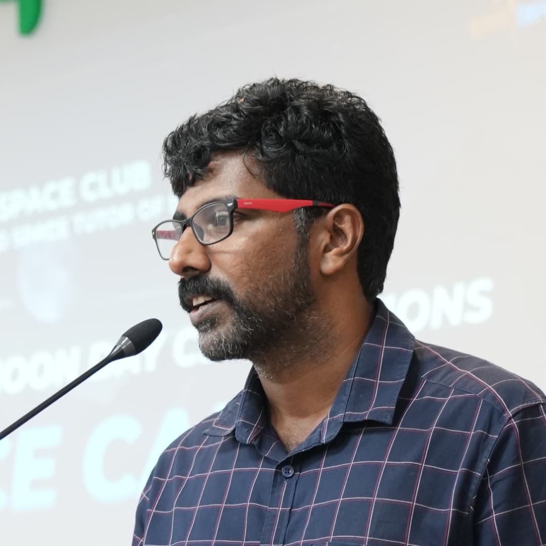
Passionate about satellite technology & building innovation in the space sector through research, education, and community leadership. Led impactful initiatives through UL Space Club, fostering student engagement, innovation, and collaboration across the space ecosystem.

Building at the intersection of satellite sensing, applied AI, Earth observation, and ocean remote sensing. Passionate about transforming geospatial data into actionable insights through remote sensing, machine learning, and space technologies that help understand and monitor our planet.
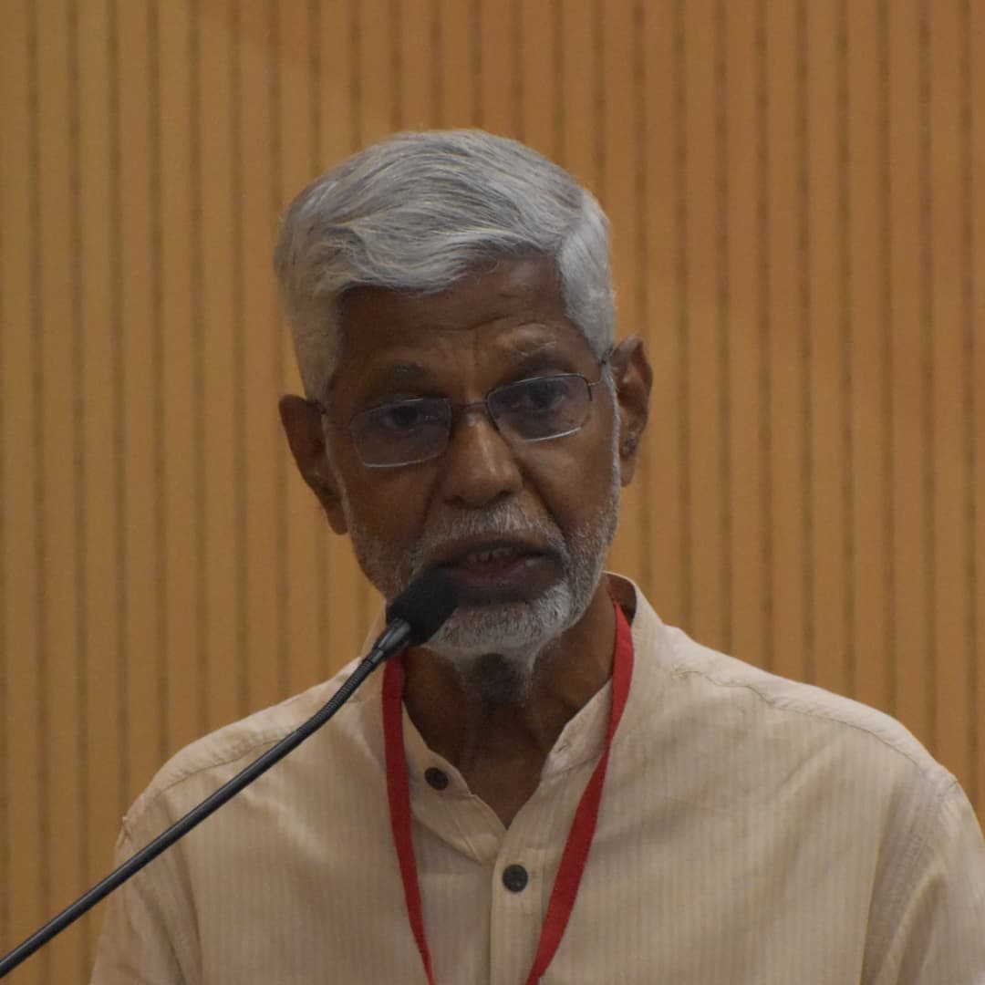
Renowned space strategist with decades at ISRO, known for shaping talent, infrastructure, and mission excellence while inspiring future space innovators.
Extensive expertise in satellite communications, mission operations, and space systems engineering through his journey at ISRO.

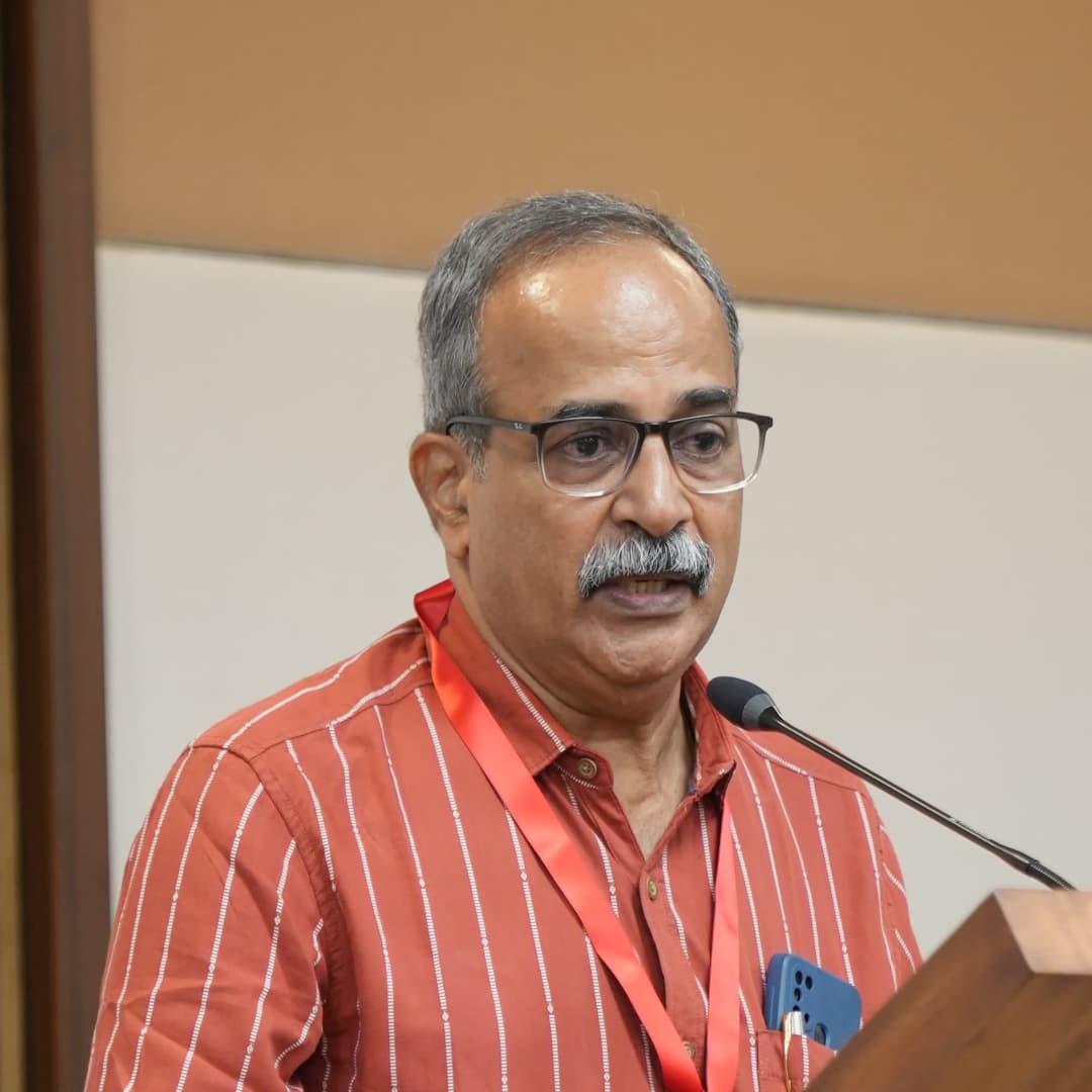
Geospatial Applications Scientist with 30+ years of experience at ISRO across water resources, geospatial and environmental applications.
Expertise in applied research, technology innovation, and industry-driven R&D, with experience leading interdisciplinary collaboration and product development.
We collaborate with academic centers of excellence, space application teams, and industry bodies to validate remote sensing models and support technology integration.


At Zeta Space, we turn satellite imagery into decision-ready land risk intelligence.
We deliver verified land and infrastructure risk insights with customized resolutions up to 15 cm, providing exceptional clarity beneath your assets. From regional assessments to site-level analysis, our intelligence supports infrastructure developers, insurers and reinsurers, and real estate stakeholders who need precise, actionable insight.
We don’t just provide data, we provide clarity you can build on.
We are building the future of orbital risk intelligence. Work on cutting-edge GIS models, multi-spectral satellite pipelines, and predictive telemetry alongside researchers and engineers.
Project based learning experience and industry exposure with GIS tools.
Send resume to info@zetaspace.co to apply.
Apply Now
Reach out to discuss your requirements, request a demo, or explore partnership opportunities.